- Place
- Global
- Timeline
- 2025
- Clients
- LGNDOde
- Role
- Developer and designer in partnership with Ode
- Services
- AI
- Design
- Engineering
01
Overview
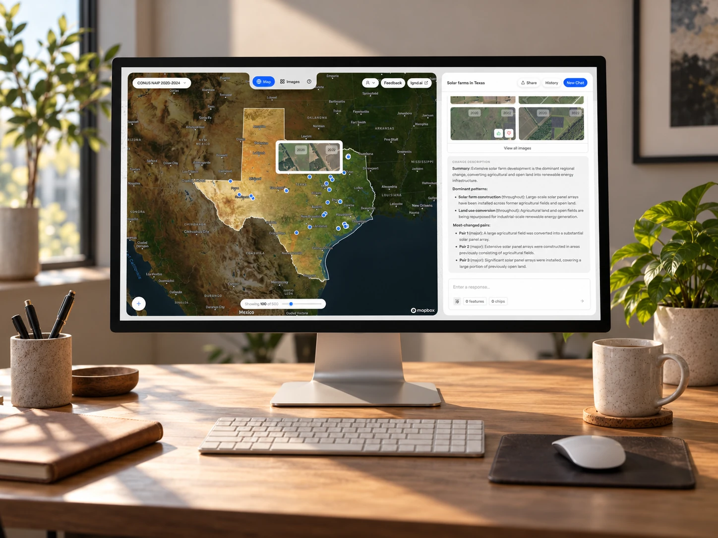
LGND turns decades of satellite and aerial imagery into queryable datasets. Their data science team, building on their prior creating the open-source geospatial foundation model Clay, had created tooling to generate geospatial embeddings from any imagery. But they needed a way to make their data sets usable by analysts.
Over three months, I designed and built LGND Discover, an application that allows users to search satellite imagery using natural language: new solar farms, illegal mins, landscape changes after wildfires. I worked closely with their data scientists to integrate their latest research into an interface that is simple, powerful, and delightful to use.
From one question hundreds of features
With a simple search, Discover identifies locations where new solar farms appeared recently in Texas.
02
Ask in plain language
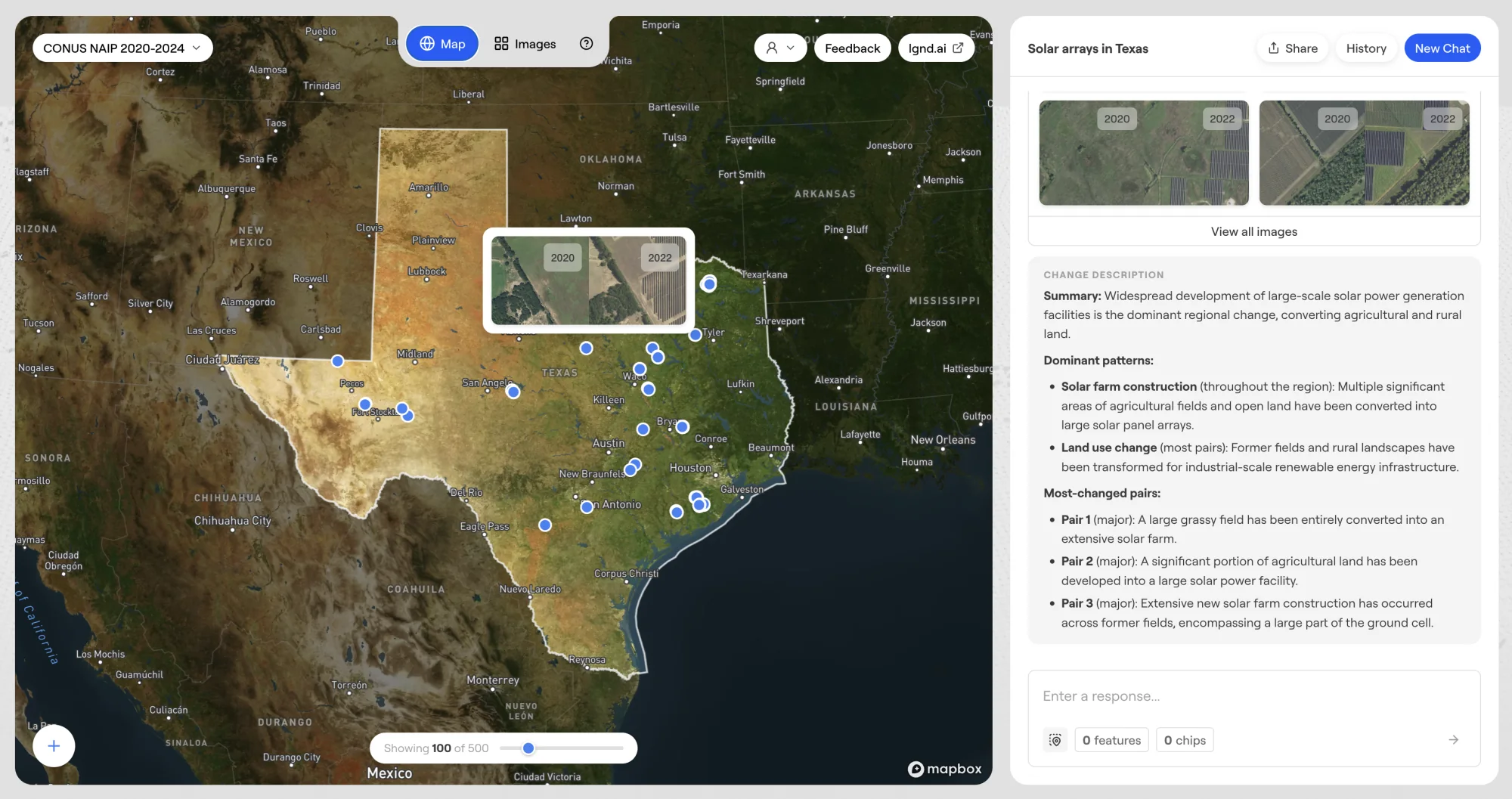
By bridging LGND's geospatial embeddings with an AI agent, I enabled the satellite data to be queryable with a simple natural language description. Matching "chips"—or squares of Earth—reveal themselves on the map, each with a confidence score. Users can then refine results by rating the results, identifying matching features on the map, or providing additional instructions to the agent.
03
See what changed
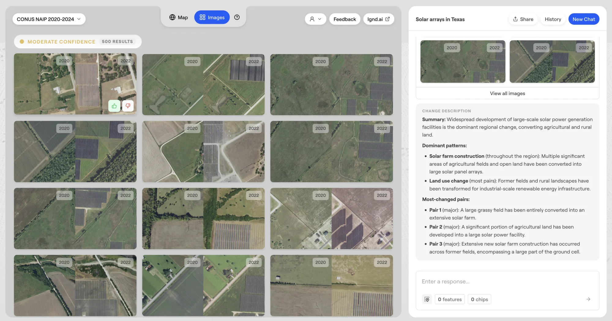
By integrating multiple years of satellite data, users can find where the landscape has shifted. The agent converts the user's query into "before" and "after" searches and then summarizes the dominant patterns and most-changed places in plain language. Analysts can check the story against the evidence.
04
Augmenting the data
Satellite embeddings can identify landscape-scale features, but analysts also need to integrate that data with harder-to-see points of interest. Discover also integrated OpenStreetMap, allowing users to find trees near power lines and other critical co-occurrences.